For maps of the Cockermouth area, use Multimap.com. You can enter a postcode, grid reference, or house name/number and street and town, and get an Ordnance Survey map at a variety of scales with your chosen location circled.
1:10000 scale will give you street names.
1:25000 is the orange OS map.
1:100000 shows roughly the coverage of this site.
The 25000 scale (2.5 in to the mile) map with Cockermouth at its centre is here.
Ordnance Survey paper maps to buy are Landranger (purple) sheet 89 (1:50000 scale) - West Cumbria, and Explorer (orange) OL4 (1:25000 scale) - The English Lakes North West area.
See also Google map of the area, with zooming and scolling around the map. Also includes aerial and satellite photos.
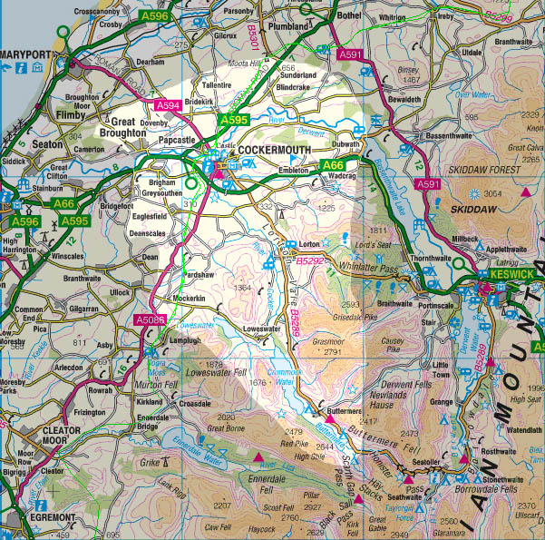
Coverage of this website is the CA13 postcode area, as highlighted above, which includes:
|
|
|