Buttermere
Grid Ref: NY 157190
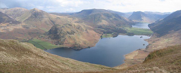
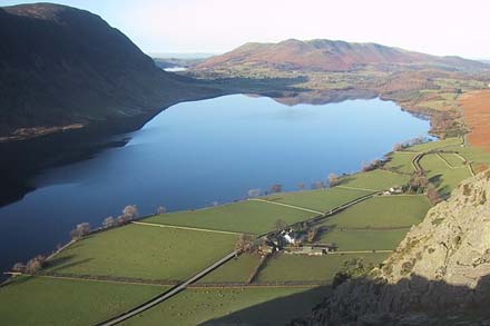
Crummock water and Buttermere from near the top of Mellbreak. Picture by Ann Bowker, 29 March 04.
It is 2 1/2 miles long, 3/4 mile wide and 140 feet deep and is a clear, rocky bottomed lake flanked by steep fellsides of Skiddaw slate.
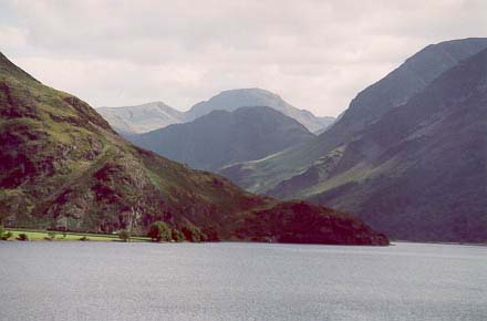
Crummock Water with Haystacks and Great Gable
The lake is fed by numerous streams including the beck from Scale Force, which with a drop of 170 feet is Lakeland’s tallest waterfall. The River Cocker starts from here, flowing towards Cockermouth where it joins the River Derwent.
Rowing boats are available for hire.
The lake is owned by the National Trust.
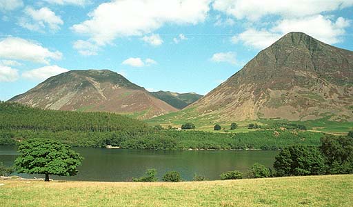
Crummock Water with Whiteside and Grasmoor
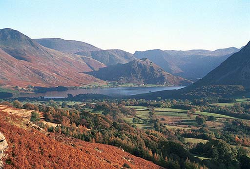
Crummock Water from Darling Fell, Loweswater
and looking in the opposite direction :
Crummock Water from Rannerdale Knotts,
Loweswater in distance. Photo by Ann Bowker
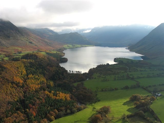
Aerial photo by Simon Ledingham
Get directions on Google Maps :